Vol. 20 No. 2 (2026): Journal of Geomatics
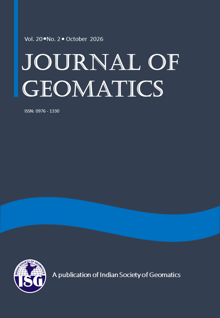
The Editorial Team is pleased to present Volume 20, Issue 2 (October 2026) of the Journal of Geomatics. The publications in this issue highlight the expanding role of geospatial technologies in addressing critical challenges related to natural hazards, climate change, environmental conservation, agriculture, water resources, and sustainable development. Advances in Remote Sensing, Geographic Information Systems (GIS), Global Navigation Satellite Systems (GNSS), and Data Science based analytical approaches are transforming geomatics into a powerful tool for scientific research, resource management, and evidence-based decision-making.
This issue presents a scientometric study of global research trends in landslide applications, revealing the rapid growth of scientific publications and the increasing integration of artificial intelligence and advanced geospatial techniques in landslide monitoring, susceptibility mapping, and disaster risk reduction.
Research on vegetation phenology in the Great Himalayan National Park Conservation Area examines climate-driven changes in growing seasons using satellite observations and climate datasets. Studies on soil erosion in the Himalayan region, sediment dynamics in Sri Lanka's Upper Mahaweli River Catchment, and hydrological changes in India's Tel River basin demonstrate the importance of geospatial modelling in understanding land degradation, deforestation, and watershed processes. Another contribution assesses evapotranspiration in the tropical forests of Northeast India, highlighting the value of satellite-based observations for water resource assessment.
Land-use and ecosystem monitoring receive further attention through studies of forest degradation in the Achanakmaar-Amarkantak Biosphere Reserve and multi-temporal land-use changes in Haridwar. These investigations demonstrate how satellite imagery and advanced classification techniques can support environmental monitoring, conservation planning, and sustainable land management.
The issue also presents important applications of geomatics in rural development and wildlife conservation. A study from Saboo, Ladakh, assesses the contribution of the Mahatma Gandhi National Rural Employment Guarantee Act (MGNREGA) to agricultural development and water resource management using satellite data and geo-tagged interventions. Another study identifies human-elephant conflict hotspots in the Southern Western Ghats, providing valuable spatial information for prioritising mitigation measures and strengthening wildlife management.
Beyond environmental applications, research on machine learning-based gravity prediction in Namibia demonstrates the potential of advanced computational methods for improving gravity field estimation and supporting geodetic applications, including geoid refinement and vertical datum development.
Collectively, the papers in this issue reflect the interdisciplinary nature of geomatics and its growing relevance to contemporary scientific and societal challenges. The integration of multi-source satellite data, geospatial analytics, machine learning, and field observations is creating new opportunities for predictive modelling and informed decision-making. Continued research, methodological innovation, and collaboration across disciplines will be essential to maximise these opportunities.
The Editorial Team sincerely thanks all the authors for their valuable contributions, the reviewers for their constructive assessments, and the readers for their continued interest and support. We hope this issue will stimulate further research, encourage interdisciplinary collaboration, and promote innovative applications of geospatial technologies for sustainable development.
Editorial Team
Journal of Geomatics
October 2026
Published:
2026-10-28